|
|

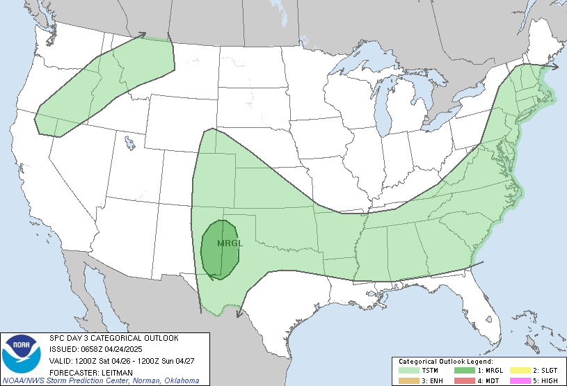
Categorical Day3 0830Z Outlook
|
|

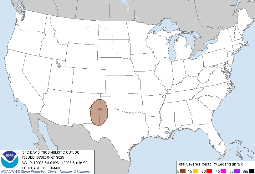
Probability of severe weather within 25 miles of a point.
Hatched Area: 10% or greater probability of significant severe weather within 25 miles of a point.
|
|
|
Images courtesy of the NWS Storm Prediction Center
000
ACUS03 KWNS 040730
SWODY3
SPC AC 040729

Day 3 Convective Outlook
NWS Storm Prediction Center Norman OK
0229 AM CDT Sat May 04 2024

Valid 061200Z - 071200Z

...THERE IS AN ENHANCED RISK OF SEVERE THUNDERSTORMS ACROSS PARTS OF
THE SOUTHERN/CENTRAL PLAINS...

...SUMMARY...
Numerous severe thunderstorms will likely develop and move eastward
Monday afternoon and evening across parts of the southern/central
Plains. Strong tornadoes, very large to giant hail, and damaging
winds all appear possible.

...Synopsis...
A negatively tilted upper trough with embedded 50-70 kt mid-level
speed maximum will eject northeastward across the northern/central
Plains on Monday. At the surface, the primary low should consolidate
over the northern High Plains of eastern MT/western ND and vicinity,
with a secondary surface low possibly developing over the central
High Plains by Monday evening. A rather moist low-level airmass,
with surface dewpoints generally in the mid 60s to low 70s, will
spread northward across the southern/central Plains ahead of an
eastward-mixing dryline. A warm front should eventually extend
eastward across parts of NE/IA, and this boundary will probably be
the northern limit of appreciable severe-thunderstorm potential.

...Southern/Central Plains...
A severe-weather outbreak still appears possible across parts of the
southern/central Plains on Monday, focused from south-central/
southeast NE into central/eastern KS and much of OK. Robust diurnal
heating of the moist low-level airmass, coupled with steep mid-level
lapse rates overspreading much of the warm sector, will likely
foster moderate to strong instability (MLCAPE generally ranging from
2000-3500 J/kg) by Monday afternoon. Enhanced mid-level winds and a
favorably veering/strengthening wind profile with height through
mid/upper levels will support around 40-55 kt of effective bulk
shear, stronger with northward extent in KS/NE.

Current expectations are for scattered supercells to erupt along the
length of the dryline in south-central NE and western/central KS by
mid to late Monday afternoon, coincident with stronger large-scale
ascent overspreading this region. Given the rather favorable
thermodynamic and kinematic parameter space, very large to giant
hail (2-4 inch diameter) will likely be a threat with these initial
supercells. The threat for tornadoes should quickly increase through
the late afternoon and early evening in tandem with a strengthening
southerly low-level jet. Ample 0-1 km and effective SRH shown in
various NAM/GFS forecast soundings suggest a threat for strong
tornadoes with any supercell that can remain discrete. With time
Monday evening and into early Tuesday morning, upscale growth into
multiple linear structures is probable, with an increased threat for
severe/damaging winds, along with embedded tornadoes given the
forecast strength of the low-level shear.

The southward extent of the substantial severe risk into OK and
north TX remains somewhat uncertain, as better forcing for ascent
will tend to remain across the central Plains. Still, modest
mid-level height falls should encourage isolated to perhaps widely
scatted supercells developing along the length of the dryline into
the southern Plains. Very large hail and strong tornadoes will be
the main threats with any supercell that can develop and persist
across this region Monday afternoon/evening. Model trends will also
be monitored for a more favorable corridor of strong tornadoes and
giant hail, which may necessitate greater severe probabilities for
Monday in a later outlook.

..Gleason.. 05/04/2024

$$
